At 2,642 m, the Col du Galibier is regularly the highest point of the Tour de France whenever it’s on the route, and one of the most feared passes in the Alps. Where Ventoux impresses through sheer isolation, the Galibier overwhelms with scale: glaciers visible in the distance, alpine pastures as far as the eye can see, and a final stretch above 2,400 m where the air genuinely starts to thin.
The profile from Valloire
From Valloire, it’s 18.1 km for 1,245 m of climbing, averaging 6.9% — a figure that hides a much harder reality in the final 5 km, where the gradient regularly hits 9–10% in increasingly thin air. It’s the combination of altitude and gradient that makes this finish so tough: the same slope at 1,000 m would feel almost trivial.
The pass is a strategic crossroads: you can link it with the Col du Télégraphe from Saint-Michel-de-Maurienne for a legendary ride of over 30 km of combined climbing, or pair it with the Col du Lautaret to the south to reach Briançon.
How to approach the ride
Managing altitude is the real challenge on the Galibier. Past 2,000 m, oxygen thins out and perceived effort rises sharply for the same power output. It pays to start more conservatively than usual over the first few kilometres and save something for the demanding final 5 km. An easier gear range than you’d use at sea level (an 11-32 cassette or wider) helps you hold a decent cadence once the legs start burning.
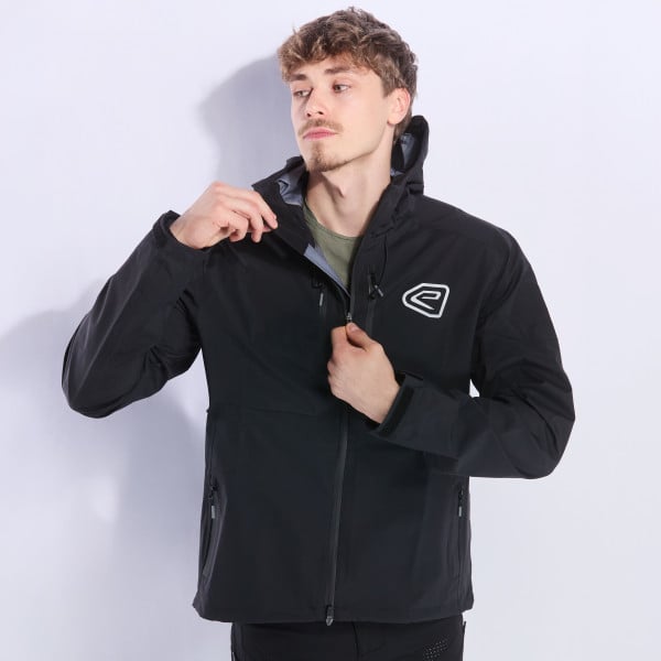
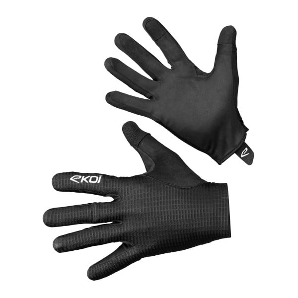
Alpine weather turns fast: clear skies at the start in Valloire can give way to overcast conditions at the summit within an hour, with temperatures dropping 10–15°C. A warm jacket and long gloves in your pockets, even on a sunny day, are never overkill — the descent can be brutally cold.
When to climb it
The pass is snowbound for most of the year and typically only opens in mid-to-late June, sometimes later depending on snowfall. The ideal window runs from late June to September. It’s worth checking the pass is open before setting off, especially in June, and starting early to avoid the afternoon thunderstorms common in the mountains during summer.
Good to know
Valloire, the village at the foot of the climb, is a solid base for preparing the ascent: bike rental shops used to serious cyclosportive riders, varied accommodation, and direct access to the Télégraphe if you want to extend the ride. Pack more solid food than usual alongside your bottles — effort at altitude burns through reserves faster than expected.